
Specialized surveying services
GEOLAF is a team of experienced and creative surveyors. Our company is providing high quality services since 2007. In our work we use state-of-the-art Trimble equipment.
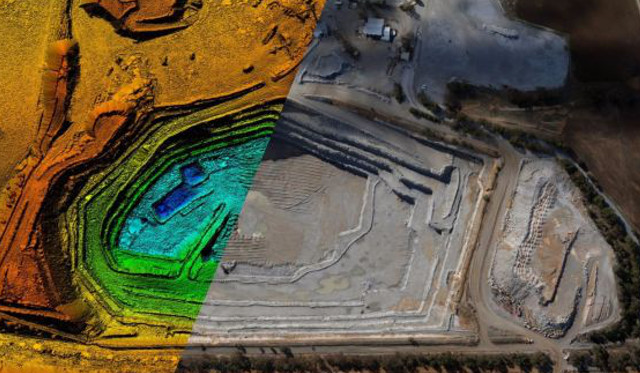
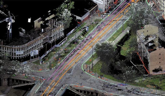
3D laser scanning
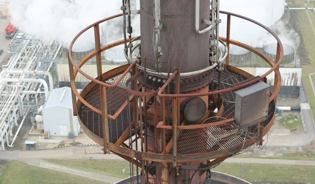
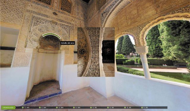
Specialist studies
Railway Surveying
BIM modeling
Orthophotos
2D and 3D map making